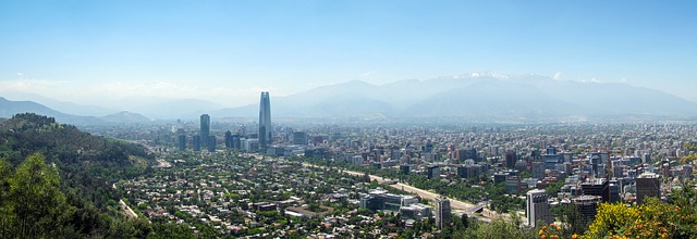
A new international study has used satellites to track air pollution changes in some of the world’s fast-growing tropical cities. Some of these cities will house more than 50 million people by 2050, but there is almost no on-the-ground measurement of what people are breathing.
We are all used to seeing satellite images on television weather forecasts. They are also used routinely to track dust storms including arrival of Saharan dust in the UK, and even across the Atlantic, as well as tracking wildfire smoke.
Mark Parrington, a senior scientist with the European Centre for Medium-Range Weather Forecasts, explained: “Earth observation provides us with up-to-date information on locations and emissions of wildfires and the distribution of key pollutants in the atmosphere, as well as the weather. Satellites provide almost 800 million data points around the world every day, including in very inaccessible regions.”
Read more...


